Purpose
The purpose of the work was development, manufacture and delivery of the control, navigation and telecommunication system for the prototype of the high-altitude unmanned airship that allows perform:
- automatic orientation in space when performing flight mission;
- automatic (according to flight mission) control of the flight path;
- flight remote control using telecommunications terminals;
- high-speed information communication between the airship and ground control station.
Deadlines
2011 – 2013
Customer

Hunan Aerospase Electromechanical Equipment and Special Materials Research Institute, Changsha, China
Partners


- JSC “Rosoboronexport”
- LLC “Special Technology Center”, St. Petersburg
- Research Institute of Space Instrument, Moscow
- MicroMax Systems, Moscow
Results
Structure
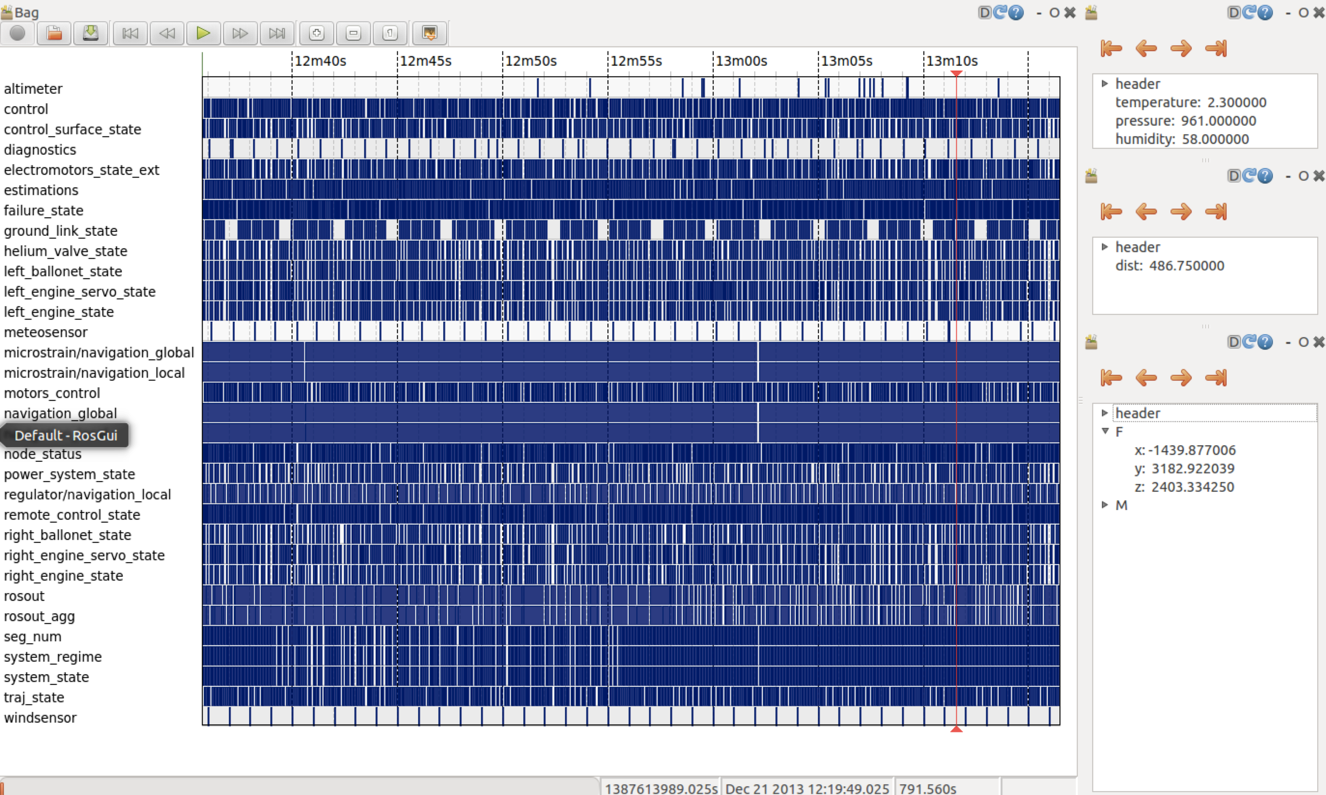
Control, navigation and telecommunication system consist of ground and on-board units, interconnected with radio link.

Structure of control, navigation and telecommunication system
Control, navigation and telecommunications system has a modular architecture that makes it easier to set-up, maintenance and repair, as well as allows modifying the system to the requirements of the customer.


Navigation system
Airship navigation system includes:
- integrated navigation system;
- radar altimeter.

Compact integrated navigation system using the original algorithm of integration of the GPS / GLONASS measurements with inertial sensors produces digital full set of necessary data for the airship control:
- coordinates and height;
- orientation angles (course, roll and pitch);
- speed in the Earth CS, the vertical velocity;
- acceleration, angular velocity.
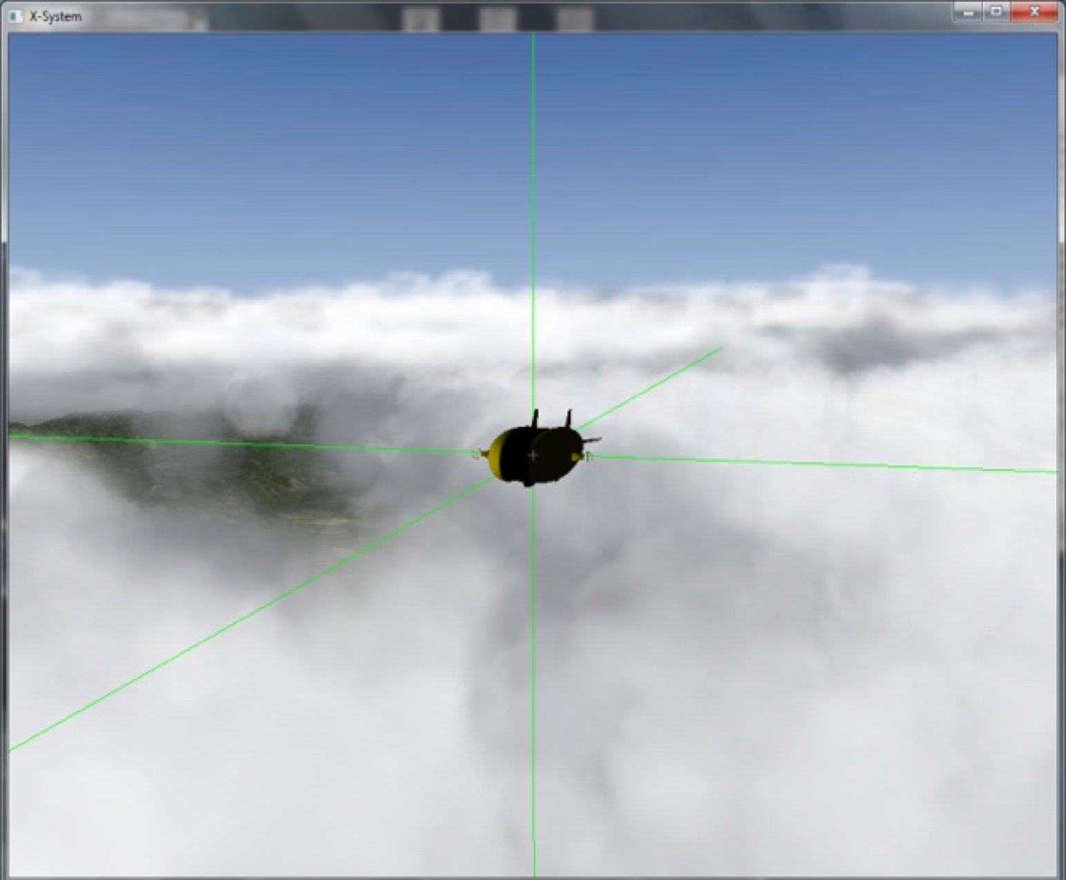
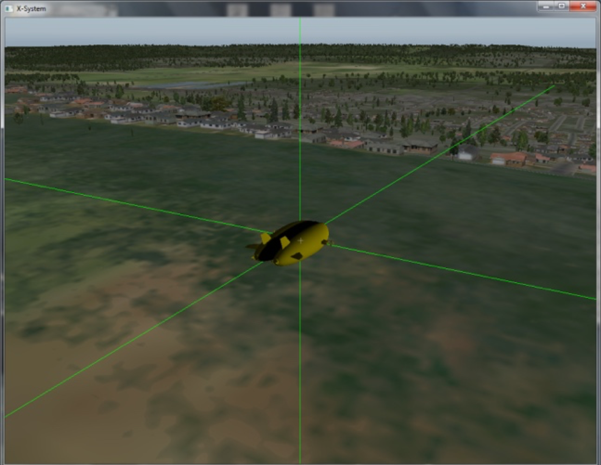
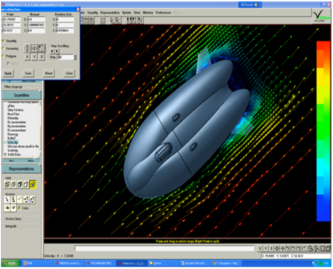
To improve measurement accuracy of the course of airship, as well as to backup integrated navigation system the auxiliary navigation system is used.![]()

To avoid collision with the ground and measure the distance to the surface a compact radar altimeter system is used. It includes a transceiver unit and a separate antenna. The altimeter can operate in fog, dust and above the water.
Sensors of the environmen
Environmental sensors are used to estimate the aerodynamic forces acting on the airship, as well as for informing the operator of the environment parameters.![]()
The composition of the external environment sensors is:
- wind speed and direction sensor,
- weather sensor, combining the functions of temperature, pressure and humidity of the environment measurements.
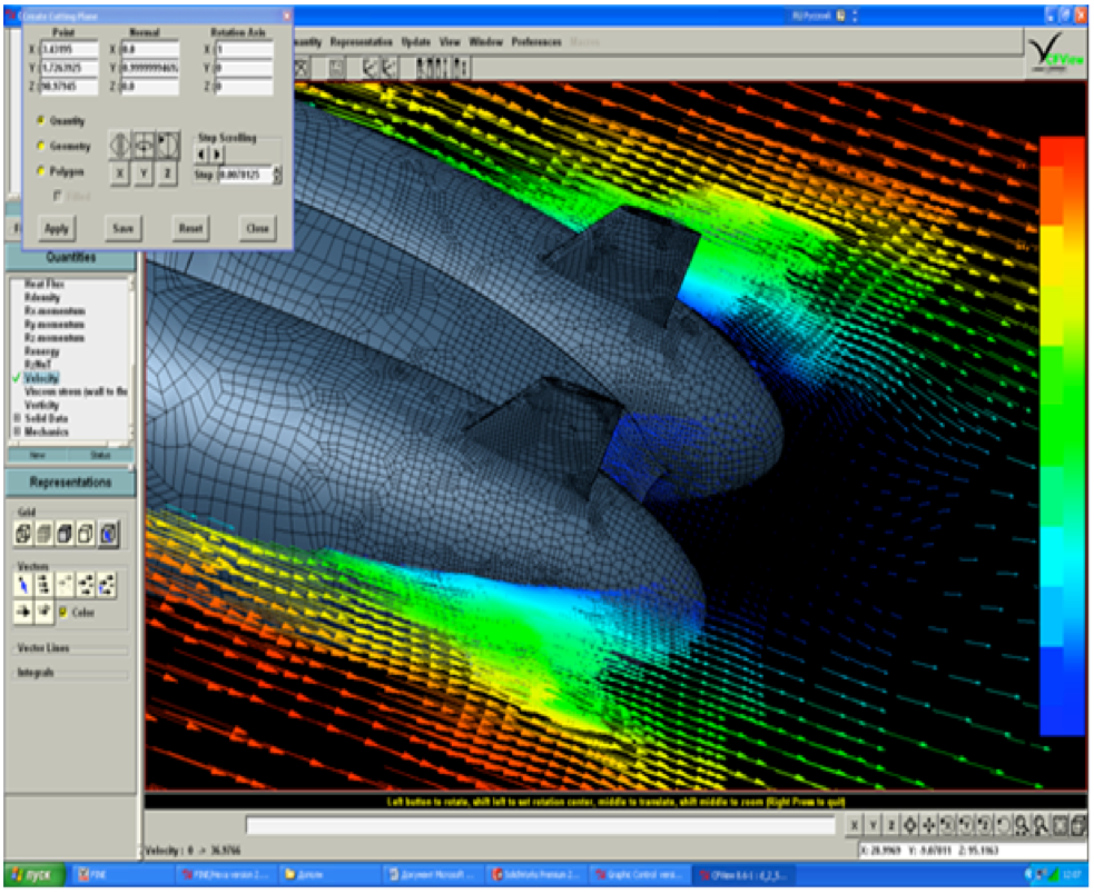
Speed and wind direction sensor measures the times taken for an ultrasonic pulse of sound to travel from an upper transducer to the opposite lower transducer, and compares it with the time for a pulse to travel from lower to upper transducer.
Likewise times are compared between each of the other upper and lower transducers. Measurements are made between the three pairs of transducers that allows calculate the projection of three airspeed projections and angles of attack and sideslip.
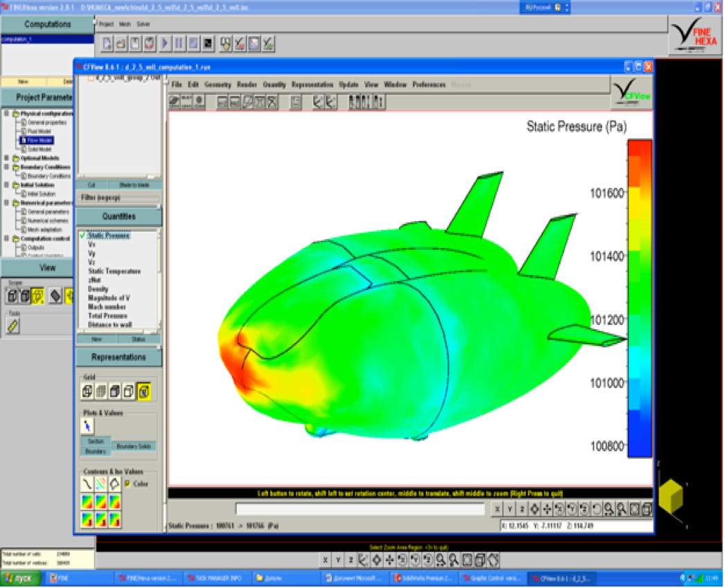
Weather sensors combine three measurement parameters: pressure, temperature and humidity.
On-board computer

High-performance compact on-board computer for using in extremely harsh environments is designed for control system. Computer is equipped with interfaces of video capture CVBS, CAN bus, an expanded set of serial ports RS232/422/485, DIO ports. Built-in hardware video processor supports simultaneous encoding and digitizing of video from 3 channels. Computer has embedded power supply with supercapacitors, which provides up to 2 minutes of power backup.

Board computer is duplicated with the same computer to improve system reliability.

On-board computer software is designed based on advanced operating system and has a modular hierarchical structure. This allows create different scenarios for its use, analyze the available data in the system and quickly make modifications to the system using modern development tools. The software incorporates a means to record all flight data and playback and conversion for subsequent analysis.


Ground control station
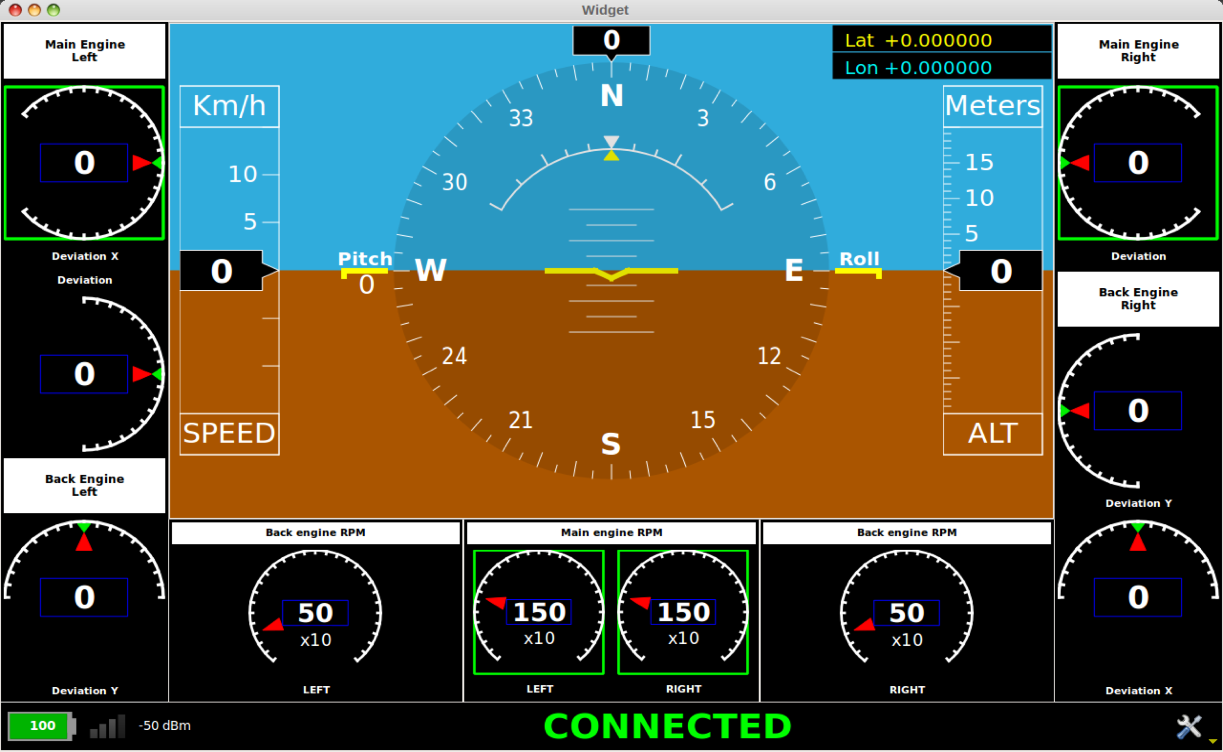
Ground control station implements the functions required for interaction between the operator and the airship onboard control system. The structure of the ground control station includes ground control computer, satellite navigation devices, audio alert system, joysticks and pedals.


Functionality of the ground control station is provided with special software with a graphical user interface. The main graphical user interface of ground control station is a set of information widgets (windows) with flow layout (it can be changed dynamically and switch between necessary representations).
Key information is displayed in the following widgets:
- propulsion engines states widget;
- electro motors state widget;
- ballonets state widget;
- multifunction display (pitch, roll , speed, altitude, distance to the GCS, etc.);
- widget of environment parameters;
- map and flight task planning widget.
It’s possible to view the state variables of the airship in the table view and the form of graphs.
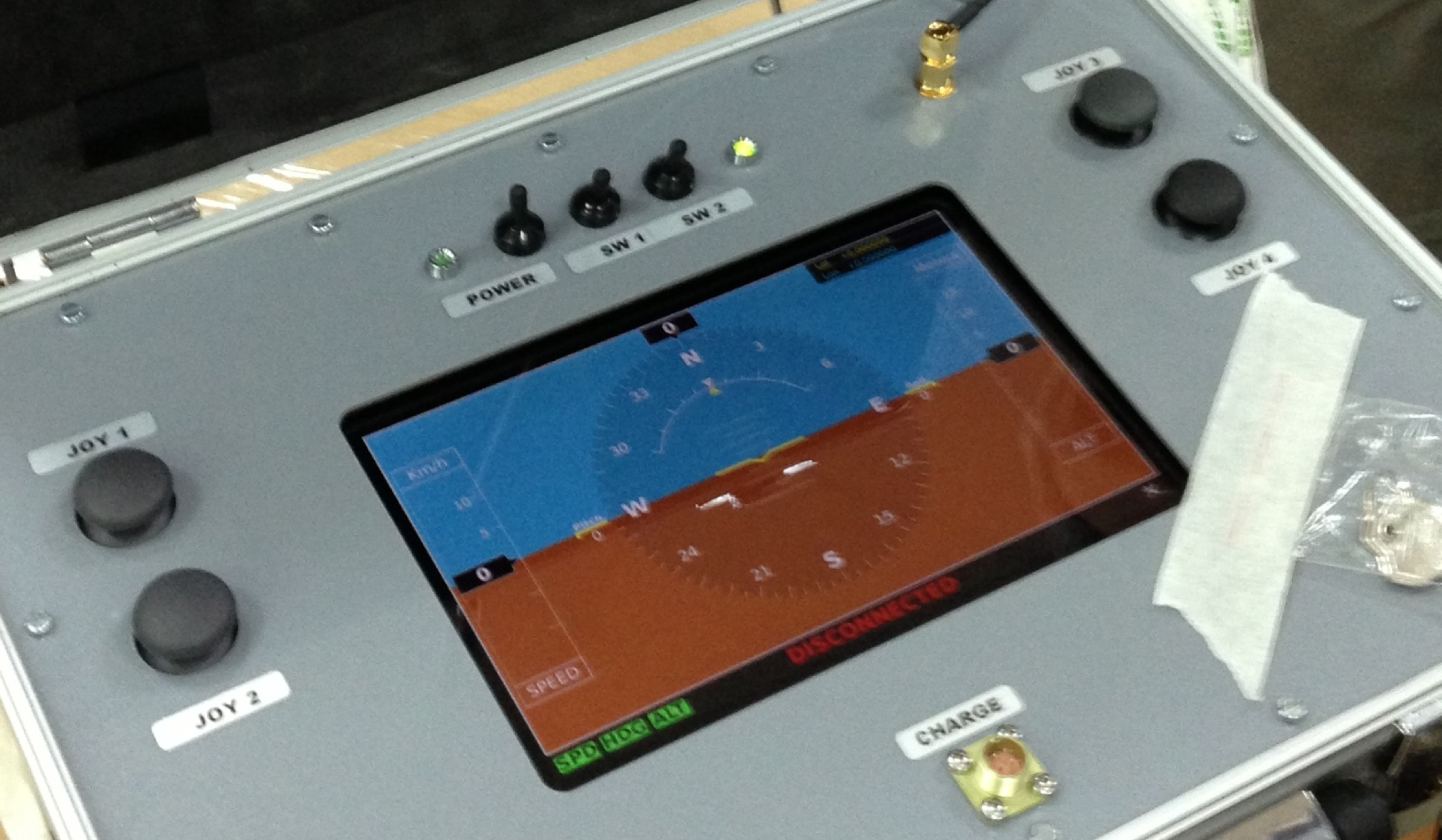
Handheld control unit
Handheld control unit is designed for remote control of the airship in the line of sight at a distance of 2 km.
Control panel includes four two-stage joystick, touch screen, the communication device.
On the handheld control unit display current navigation information and airship actuators state are showed.
Handheld control unit is connected through a communication channel directly with the onboard part of the control system.


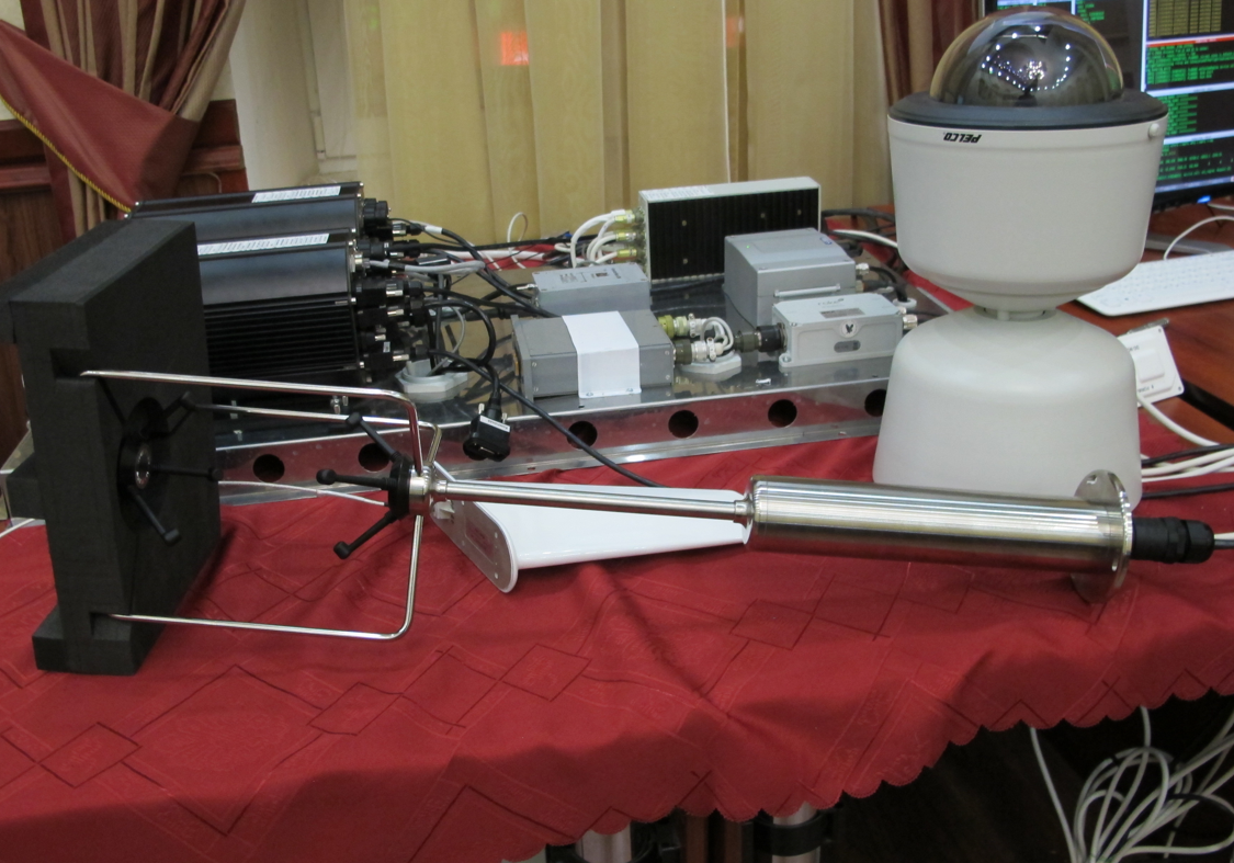
Telecommunication system
Telecommunication terminal includes:
- on-board terminal;
- ground terminal.
Telecommunications terminals implement high-speed and low-speed data links.
High-speed communication channel antenna uses an active phased array (AESA). Antennas have 16 sectors and allow scanning over all angles of azimuth.
Automatic Motion Control
Ground control operator visually on the map forms flight mission by the segments – lines or arcs.
The original patented algorithm calculates the required control (forces and moments and the settings of the actuators) for performing of a given flight task.

Simulator
For debugging, operator training and demonstration airship software and hardware simulation is developed, working in conjunction with a connected control system.